What Is GPS?

CARS.COM — Short for Global Positioning System, GPS has changed the way drivers find their way from point A to point B. Maintained and operated by the U.S. Air Force, the GPS network consists of up to 31 satellites, of which a minimum of 24 are in service at any time. Each one constantly broadcasts its location, status and time, using a unique signal for identification.
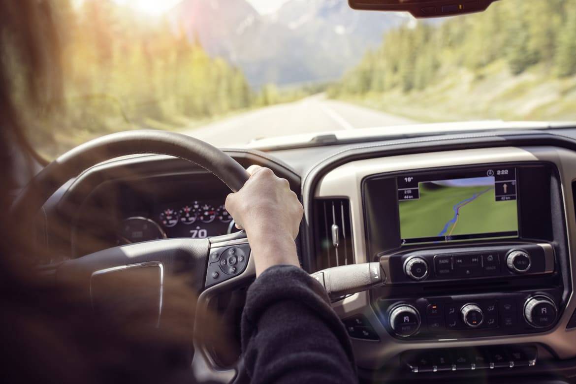
Automotive navigation systems and smartphones incorporate GPS receivers that use these signals to determine your location to within a few feet, in any weather. The receivers are just that — receivers — meaning they don’t communicate to satellites, though smartphones and some cars are connected to cellular or other wireless networks.
Related: 5 Car Tech Features You Aren’t Using and Why
Begun by the Air Force back in the 1970s, the GPS network now in use had a long gestation period, finally entering service in the 1990s. GPS navigation caught on with the motoring public in the early 2000s, as automakers incorporated the feature as a factory option and inexpensive dashboard-mounted devices such as Garmin and TomTom units became ubiquitous — before being largely replaced by smartphone navigation.
Spaced evenly over six different orbits at an altitude of approximately 12,550 miles, the GPS satellites circle the globe twice a day. This arrangement ensures that at least four are always visible to any given GPS receiver from any point on Earth, though geography and urban canyons formed by tall buildings can block these line-of-sight signals.
By combining the coordinates of any three satellites, the GPS receiver in your phone or car can fix its location. Adding a fourth satellite signal enables altitude to be added to the mix. By overlaying that information on top of a built-in or cloud-sourced map database, the receiver can provide the turn-by-turn directions drivers have come to rely on, along with the location of services like restaurants, gas stations and other points of interest.
Where built-in navigation systems still outperform portables and smartphones is their ability to function when GPS signals are temporarily blocked by mountains, buildings or tunnels. Using the vehicle’s speedometer and techniques called map matching and compass- or gyroscope-based dead reckoning, in-dash navigation continues to route and display the vehicle on a map accurately until GPS signals are recovered. And unlike smartphones, built-in navigation systems typically store their maps onboard and aren’t affected by lost cellular service.
The Air Force operates a worldwide network of monitoring stations to keep the system on course and functioning properly, and regularly makes upgrades and replaces aging satellites. That not only helps keep the military functioning, it can also find your next cup of coffee — anytime, anywhere.
Cars.com’s Editorial department is your source for automotive news and reviews. In line with Cars.com’s long-standing ethics policy, editors and reviewers don’t accept gifts or free trips from automakers. The Editorial department is independent of Cars.com’s advertising, sales and sponsored content departments.
Featured stories


